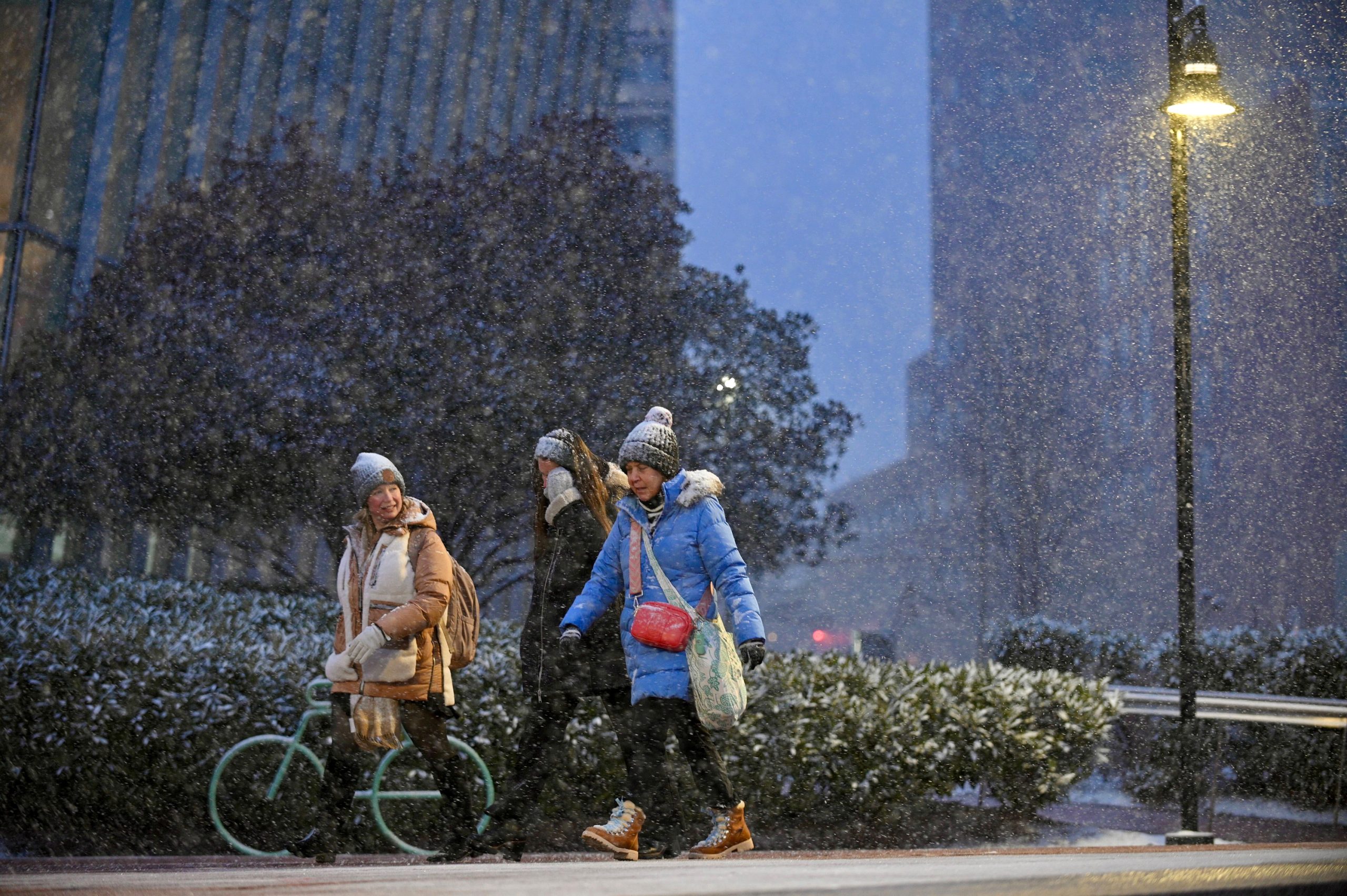
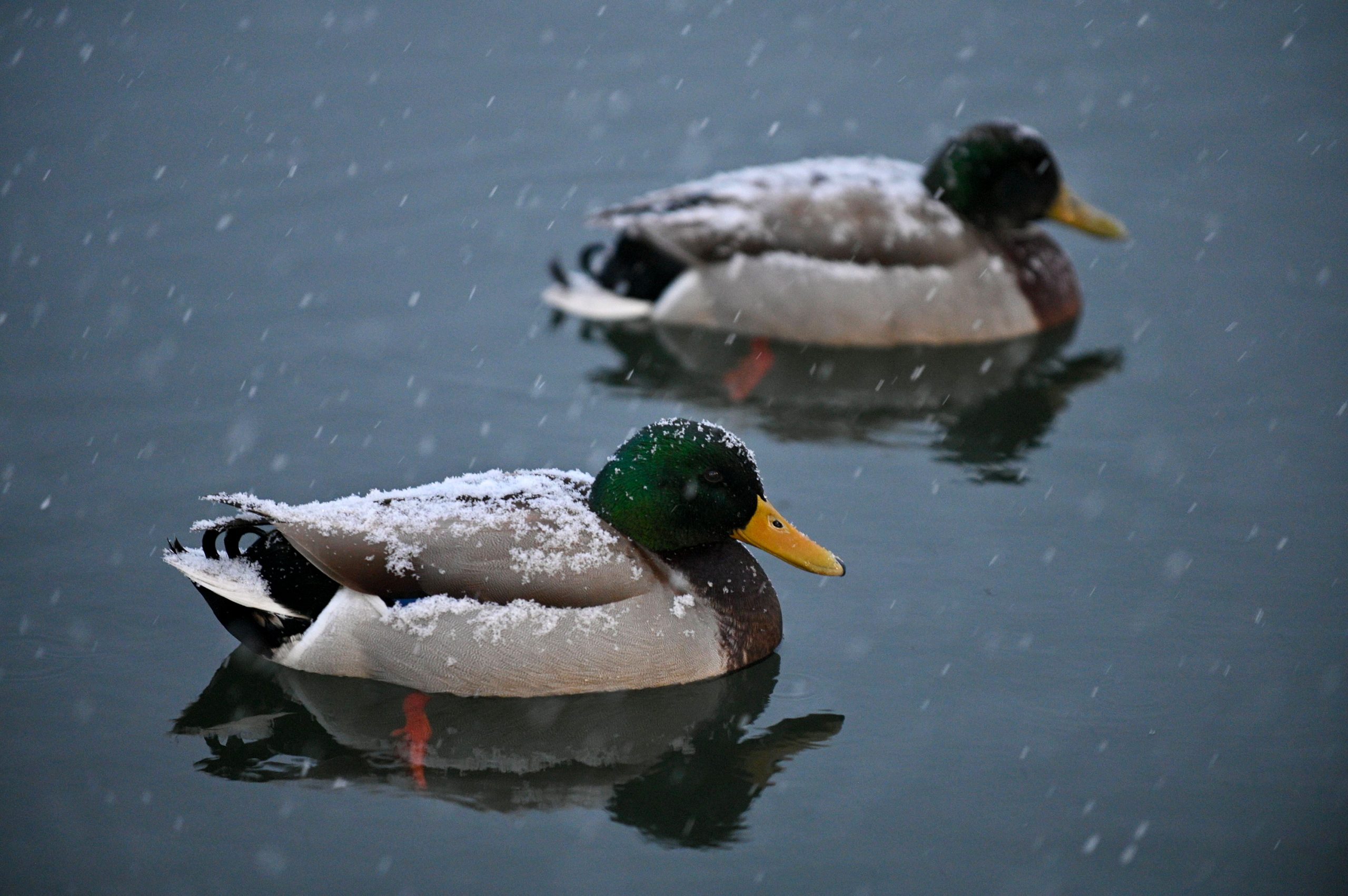
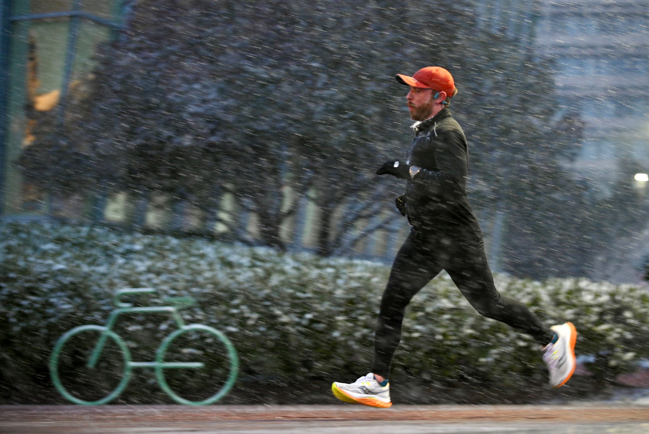
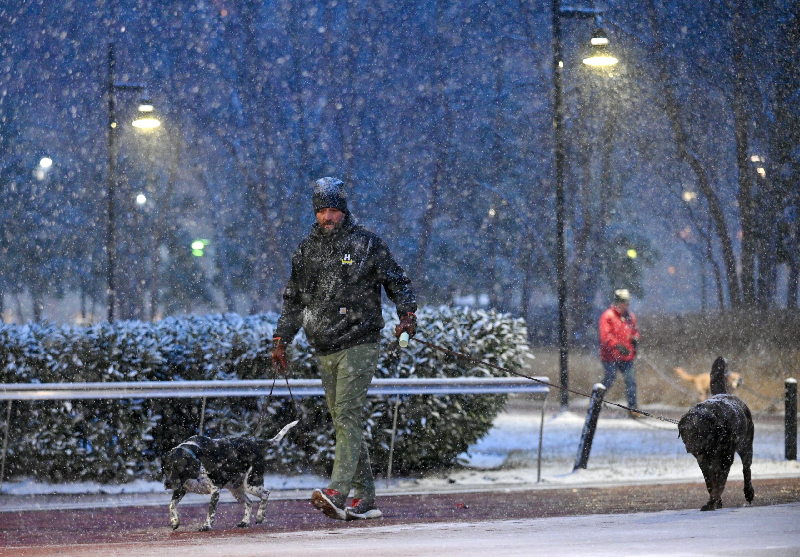
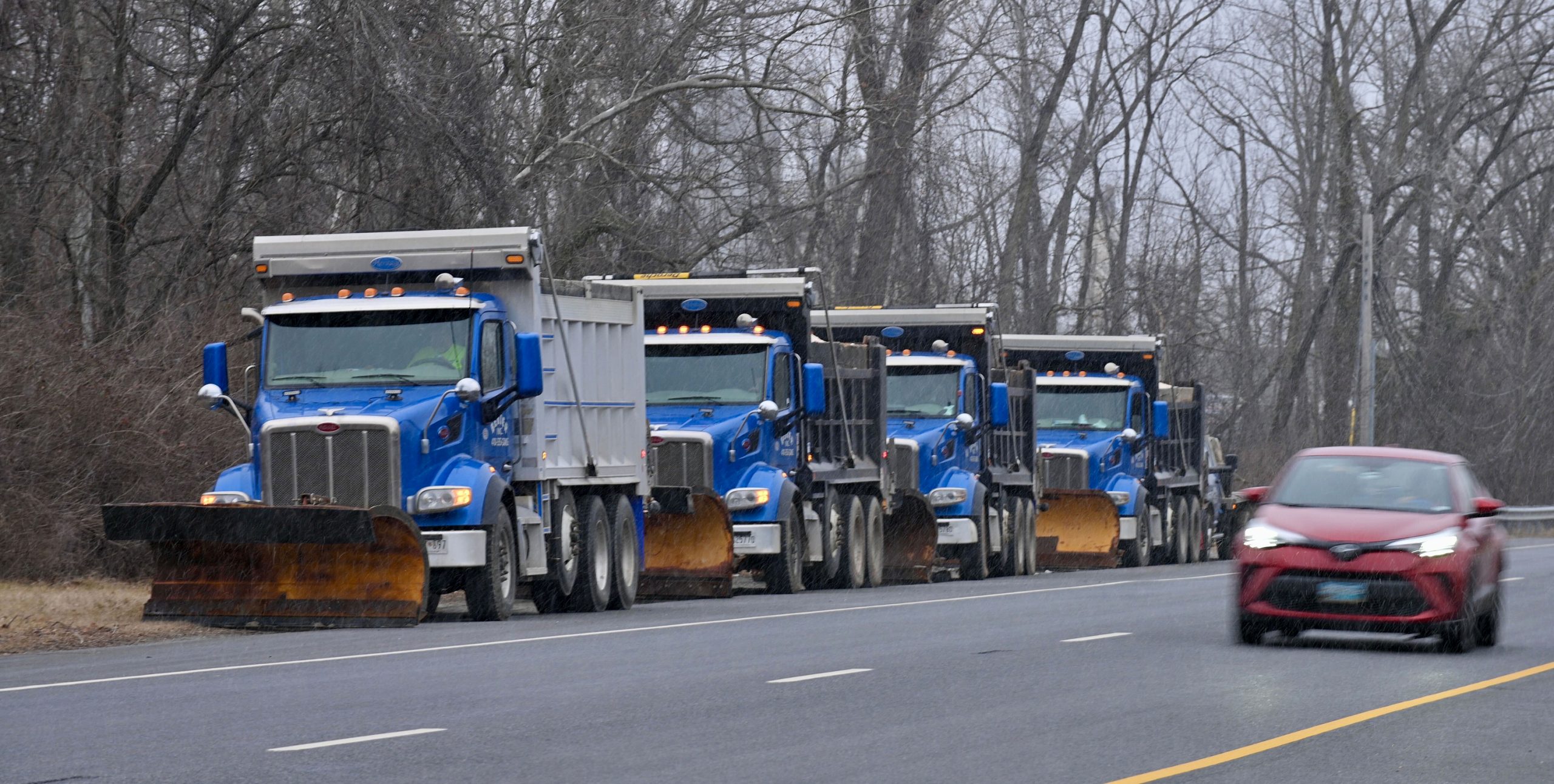
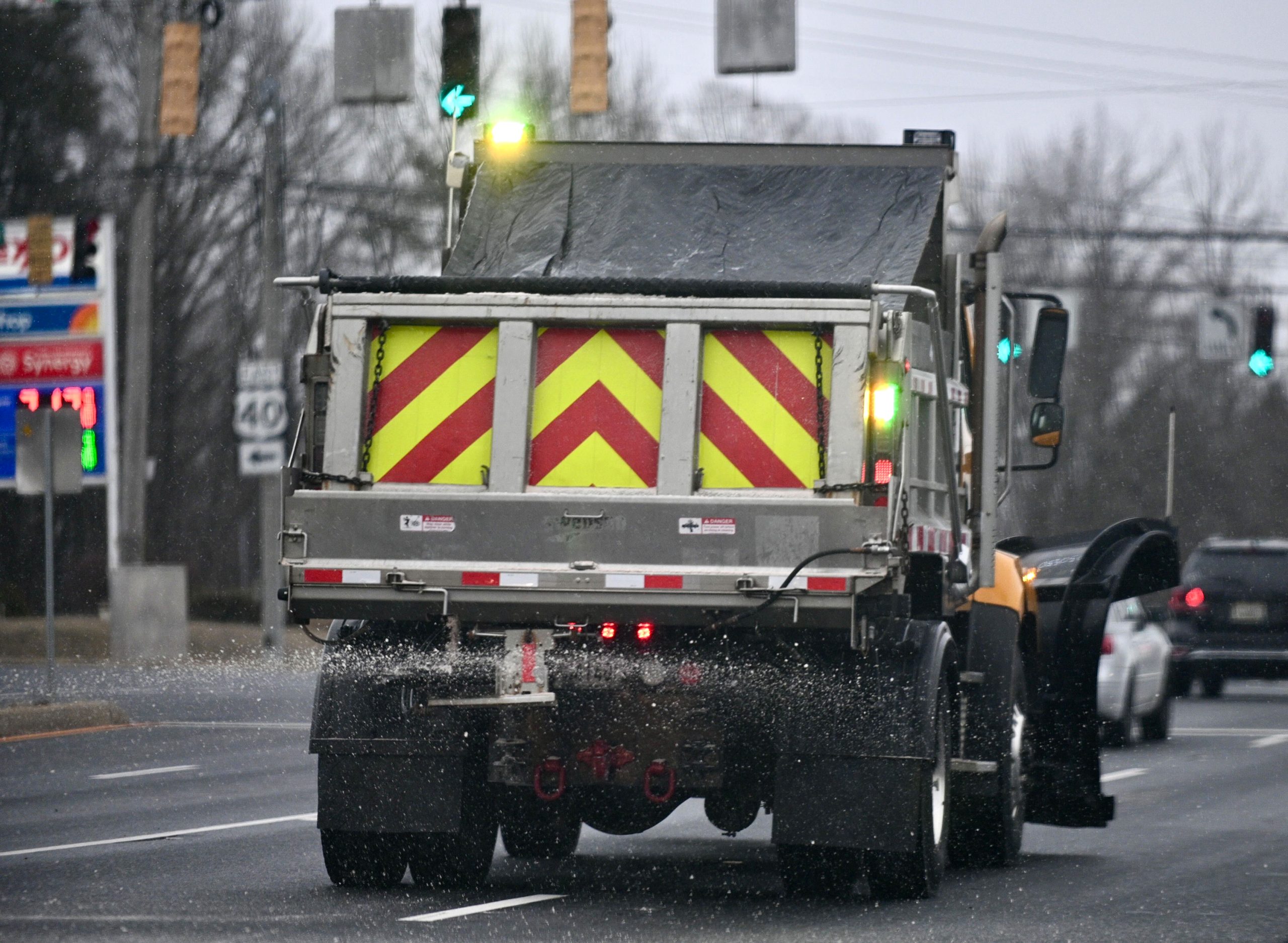
Although the heaviest snow has moved from the Baltimore area, the wintry weather will continue throughout the morning and early afternoon.
The total daytime snow accumulation Wednesday is predicted to be about an inch in the daytime with a high of 38. Rain will move into the area in the evening with a low of 36. The chance of precipitation is 100%.
[Get the latest weathercast from FOX45 News]
Overall, Baltimore City, Towson, Annapolis, Columbia and Westminster had about 3 to 5 inches of snow. Parts of Bel Air received between 4 to 7 inches, according to AccuWeather.
Several school districts have announced schedule adjustments for Wednesday.
School systems for Baltimore City and Howard, Harford and Carroll counties are closed.
Baltimore County Public Schools and Anne Arundel County Public Schools have shifted to virtual learning.
Private schools also have a mix of plans. Loyola Blakefield will be closed. Catholic High School of Baltimore will use virtual learning. Garrison Forest School will open at 10 a.m. Gerstell Academy will open on a two-hour delay. St. Paul’s Schools will open at 10 a.m.
The University of Baltimore; Coppin State University; Towson University; the University of Maryland, Baltimore County; Stevenson University; and Salisbury University will open at 10 a.m. The Maryland Institute College of Art will be closed. Bowie State University will conduct virtual learning. Loyola University Maryland campuses will open at 11 a.m.
The Irvine Nature Center will open at 11 a.m.
In Baltimore, the Emergency Operations Center was activated at 3 p.m. Tuesday and will remain active until the storm is over, a news release from the mayor’s office says.
City government offices will have a delayed opening of up to two hours for nonessential employees, including nonessential employees who are teleworking, and have care provider responsibilities, such as child care or elder care. Essential employees and employees designated as emergency essential (for the current weather event) must report to work and/or remain at work as scheduled, unless informed otherwise by their agency head, designee or immediate supervisor.
Erik Taylor, meteorologist for the NWS’ Baltimore-Washington, D.C., office, recommends against traveling Wednesday morning, but if necessary, he suggested allowing extra time to commute and maintaining extra distance between your vehicle and others.
The low-pressure system is the main factor behind the predicted snowy weather, pushing across the area and mixing with the cold air, Taylor said.
There’s a chance of rain Thursday, mainly before 10 a.m. Otherwise, it’s expected to be cloudy then gradually becoming mostly sunny, with a high near 50. There will be light and variable wind becoming west 6 to 11 mph in the morning and gusting as high as 23 mph. The chance of precipitation is 30%.
On Thursday, there is a slight chance of showers before 1 p.m. before becoming mostly sunny, with a high near 53. Winds could gust as high as 33 mph. The evening will be mostly clear, with a low around 31.
The sun is forecast to shine Friday with a high of 39 and a low around 31.
However, more precipitation is forecast for Saturday. There’s a chance of rain and snow before 1 p.m. then rain. The high is expected to be near 44 with the chance of precipitation at 90%. There is a 100% chance of precipitation in the evening with a low around 41.
Sunday will also be rainy with a high near 59. The evening should be mostly cloudy and colder with a low of 27 and a 100% chance of rain.
Monday, which is Presidents Day, should be mostly sunny with a high near 36 and overnight low around 22.
Tuesday is expected to be partly sunny with a high near 36.
Baltimore Sun reporters Dan Belson, Matt Hubbard and Shaela Foster contributed to this article. Have a news tip? Contact Todd Karpovich at tkarpovich@baltsun.com or on X as @ToddKarpovich. Contact Racquel Bazos at rbazos@baltsun.com, 443-813-0770 or on X as @rzbworks.